File:Mie Map.jpg
From Mie Guidebook

Size of this preview: 380 × 600 pixels. Other resolutions: 152 × 240 pixels | 534 × 843 pixels.
Original file (534 × 843 pixels, file size: 98 KB, MIME type: image/jpeg)
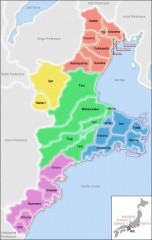
Map of Mie with municipalities, surrounding prefectures, and bodies of water marked. Includes a small map of Japan indicating Mie's position.
Higher-detail png version available.
File history
Click on a date/time to view the file as it appeared at that time.
| Date/Time | Thumbnail | Dimensions | User | Comment | |
|---|---|---|---|---|---|
| current | 17:50, 20 April 2010 | | 534 × 843 (98 KB) | Jpcase (Talk | contribs) | Slightly lower JPG quality = half the size of former file |
| 22:12, 18 April 2010 | 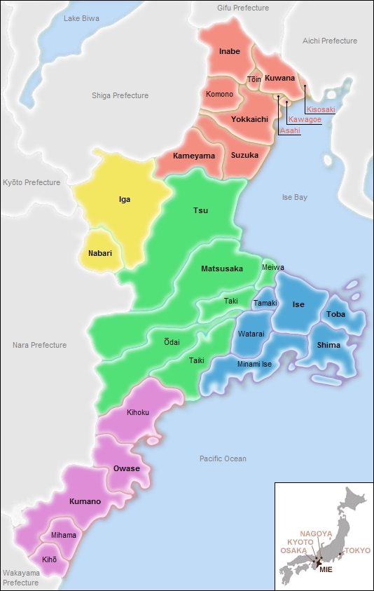 | 534 × 843 (183 KB) | Jpcase (Talk | contribs) | Map of Mie with municipalities, surrounding prefectures, and bodies of water marked. Includes a small map of Japan indicating Mie's position. Version 2 (jpg) |
- You cannot overwrite this file.
File usage
The following 2 pages link to this file: